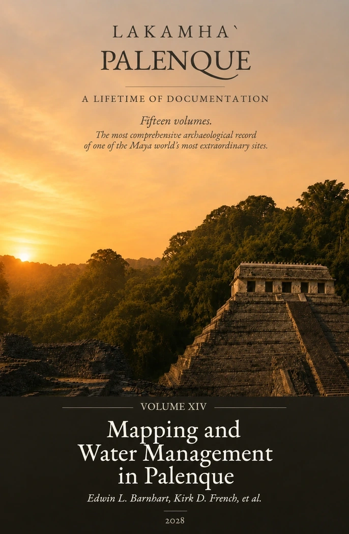
Mapping and Water Management in Palenque
Edwin L. Barnhart, Kirk D. French, et al.
About this volume
Volume XIV explores the sophisticated landscape engineering and urban planning of Palenque, focusing on how its builders mastered a challenging rainforest environment through advanced water management systems and spatial mapping.
The first part details the comprehensive archaeological mapping and architectural surveys conducted by researchers such as Edwin L. Barnhart, revealing the true urban extent and settlement patterns of the ancient city. The second part examines the complex subterranean aqueducts, diverted streams, springs, and reservoirs managed by Kirk D. French and other specialists, highlighting how water control was central to Palenque’s political power, ritual life, and urban survival.
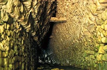
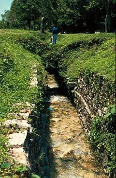
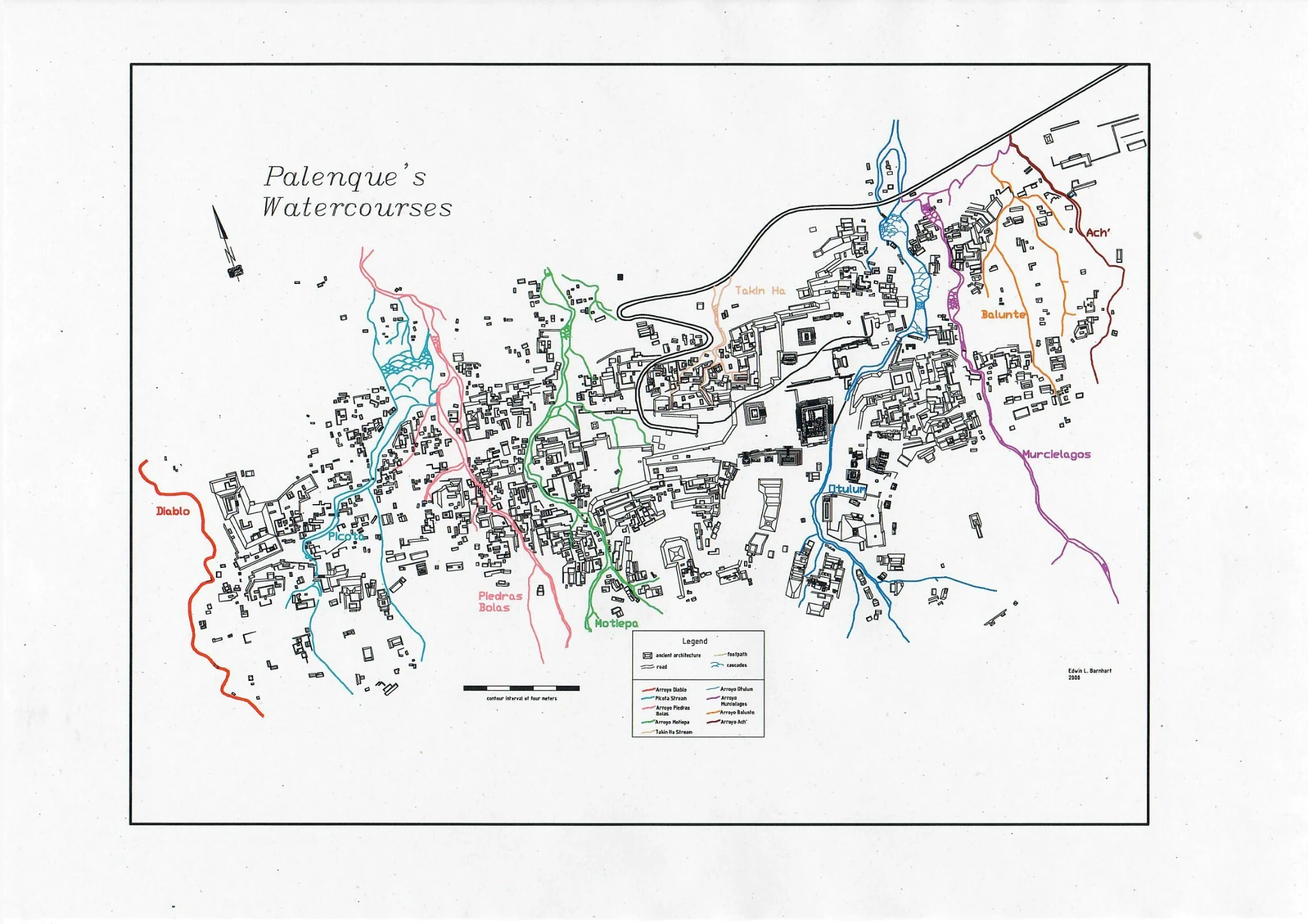
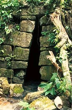
Further images on Palenque’s mapping and water management systems.
These additional illustrations complement the overview page and deepen the visual understanding of aqueducts, channels and the mapped watercourses that shaped the urban landscape of Palenque.
The complete volumes are not available as downloads. These selected images offer a first impression of the archaeological documentation and visual evidence discussed in the work.